Hiking Trails

The Ram Mountain Hiking Trail

Supervised by a local guide

Pricing based on group size, including a small “zouedeh”

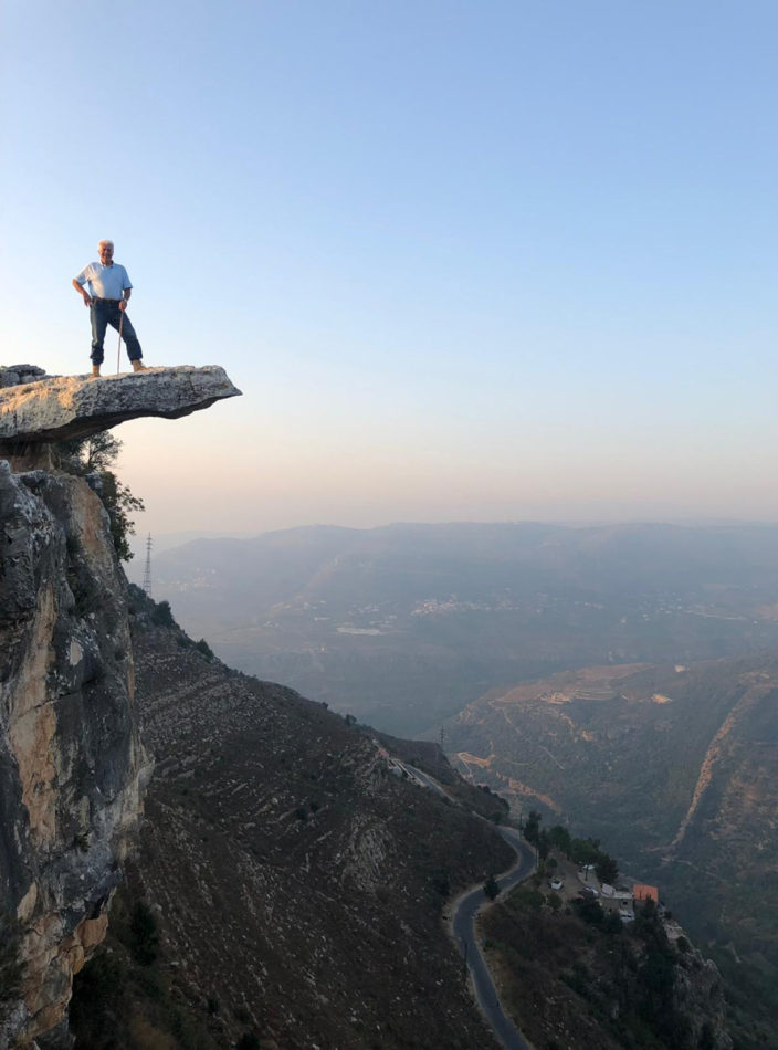
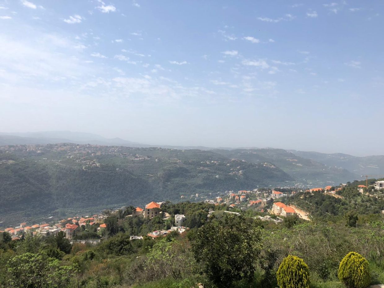
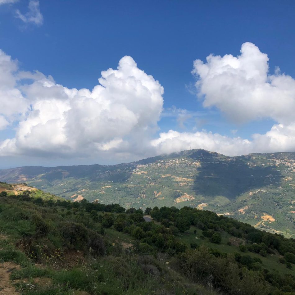
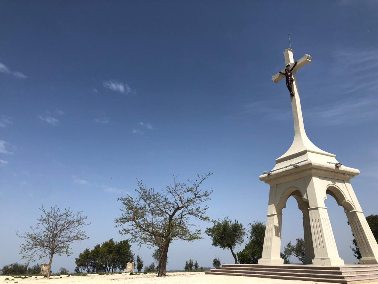
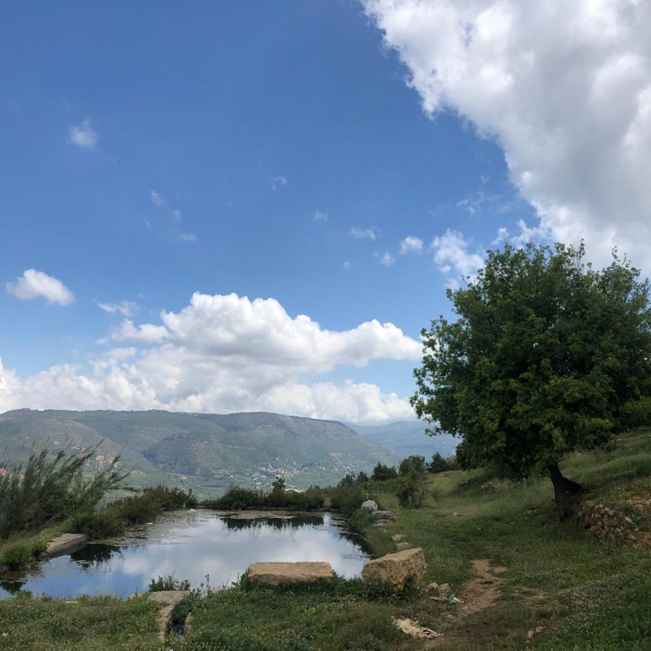
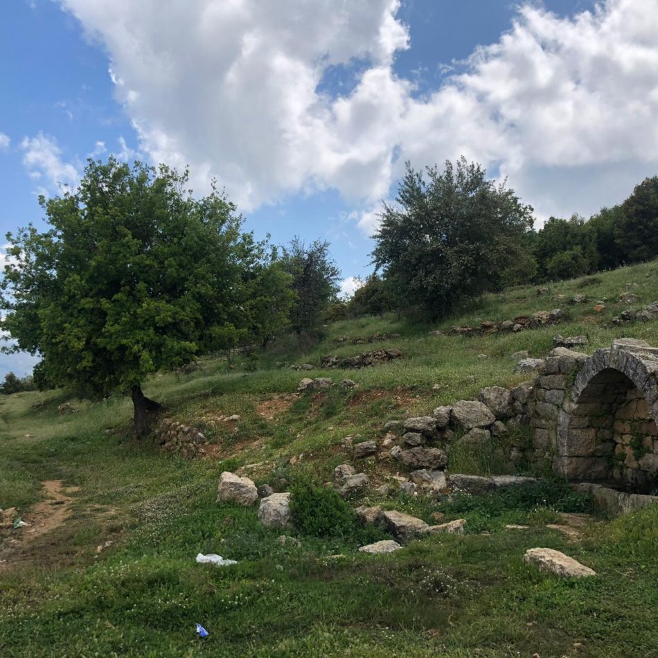
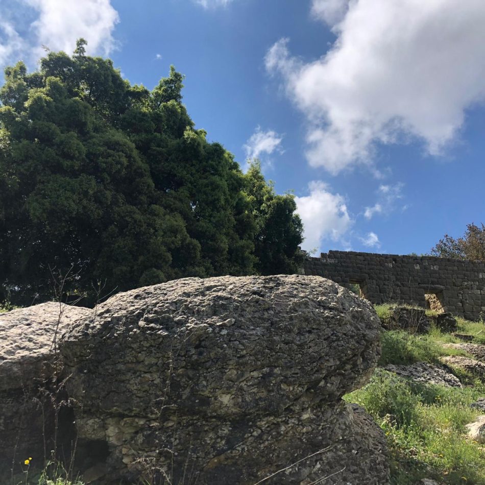
Description:  A moderate trail from Kfarkatra, departing from Our Lady of Deliverance Church going through the Ram mountain area overlooking Beiteddine palace on one side and Aley mountains on the other side. Pass by bunkers used during unstable times and a swamp (winter and spring) to reach the famous rock known by “ Sen Em Saiid”. Once you’ve reached the rock, you either can return on the same trail or continue on the Maaser Beiteddine-Kfarkatra road. 

Technical difficulty: moderate; trail length: 13km

The River Hiking Trail

Supervised by a local guide

Pricing based on group size, including a small “zouedeh

Description: An easy trail along the river from Amik to “Jisr el Qadi’s” historical bridge and old mills. Departing from Saint Mikhael Monastery, the trail passes by a waterfall (winter and spring) then back on the same trail.  

Technical difficulty: easy; trail length: 8-9 km

The Kfarhamel – Deir El Kamar Hiking Trail

Supervised by a local guide

Pricing based on group size, including a small “zouedeh”

Description: A moderate hike, departing from al Sindiana towards the plain of Kfarhamel where you pass by the old town and the Kfarhamel natural water reservoir until reaching the “Menchiyeh” area in Deir El Kamar. Once in Deir El Kamar, the trail goes uphill in a very remote area towards “el Salib” and then back to Kfarkatra. 

Technical difficulty: moderate; trail length: 13-14 km

Jahliyeh – Darb el nahr Hiking Trail

Jahlieh is a village in the Chouf District of the Mount Lebanon Governorate in Lebanon, located 35 kilometers southeast of Beirut with an altitude ranging between 400 to 650 meters above sea level and a total land area of 250 hectares. Jahlieh is bordered by villages of Daraya, Binwayte, Deir Dourit, Baakline. Wikipedia